Geospatial Science Faculty Spotlight
Ranbir Kang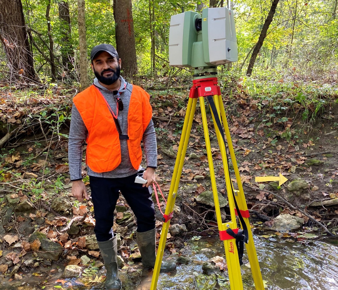
Ranbir Kang is the Program Director for the B.S. Degree in Geospatial Sciences and Associate Professor of Geospatial Sciences and Geography.
As a geographer, his work focuses on interdisciplinary aspects of river science. It includes multiple spatial scales and interdisciplinary geo-spatial tools along with field based experimental research and teaching. He has worked in universities in both urban and rural settings and believe in long term academic relations across disciplinary and institutional boundaries. His collaborators and students come from different academic backgrounds.
Uli Ingram 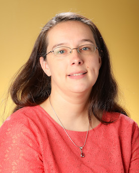
Uli Ingram is the Geospatial Sciences Lab Manager and Senior Lecturer of Geospatial Sciences at Kennesaw State University. She has an undergraduate degree in international affairs from Kennesaw State University, and a master's degree in geography from Georgia State University. Uli's master's thesis examines the appeal of mega-churches in metro Atlanta and includes a spatial analysis of the distance mega-church attendees are willing to drive to their church. Uli has worked in GIS, specifically utility mapping, for over six years. She is proficient in several GIS software applications, including the ESRI ArcGIS suite, Miner and Miner's ArcFM, and PDA's Origin extensions.
Allen D. Roberts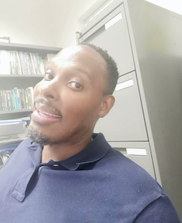
Allen D. Roberts is a Professor of Geospatial Sciences and Geography within the Department of Geography and Anthropology. He has over 25 years of research and applied experience within the: climatological; environmental; engineering; geospatial; hydrological; landscape pattern analysis; and meteorological fields that span the academic, non-profit, federal government, and private sectors. His research is currently centered on the utilization of citizen (crowdsourced) science-based geospatial data to evaluate how potential spatial and temporal gaps in climatic information may impact the City of Atlanta and surrounding areas, especially as it pertains to neighborhoods of underrepresented and lower socioeconomic populations. Since September 2021, he has been on the leadership team for the Greater Atlanta Community Science Collaboratory (GA-CSC). The GA-CSC is a consortium of community-based organizations (CBOs) and Atlanta area higher education institutions (HEIs) that form a partnership to address local-to-global issues through knowledge-sharing, problem identification, scientific collaboration, and public engagement.
In October 2018, Dr. Roberts was chosen as an NSF Workshop Fellow for the 1st National Community Geography Workshop in Atlanta, Georgia in January 2019. The workshop focused on bringing together academic researchers and community leaders interested in using geographic/GIS research for community development, social justice, and environmental sustainability within an engineered world.
Dr. Roberts completed his Ph.D. in Geographical Sciences at the University of Maryland. He also completed his M.S. in Geography (Hydroclimate Focus) from the University of Delaware in 2000 and his B.S. in Earth and Environmental Sciences from North Carolina Agricultural and Technical State University in 1997.
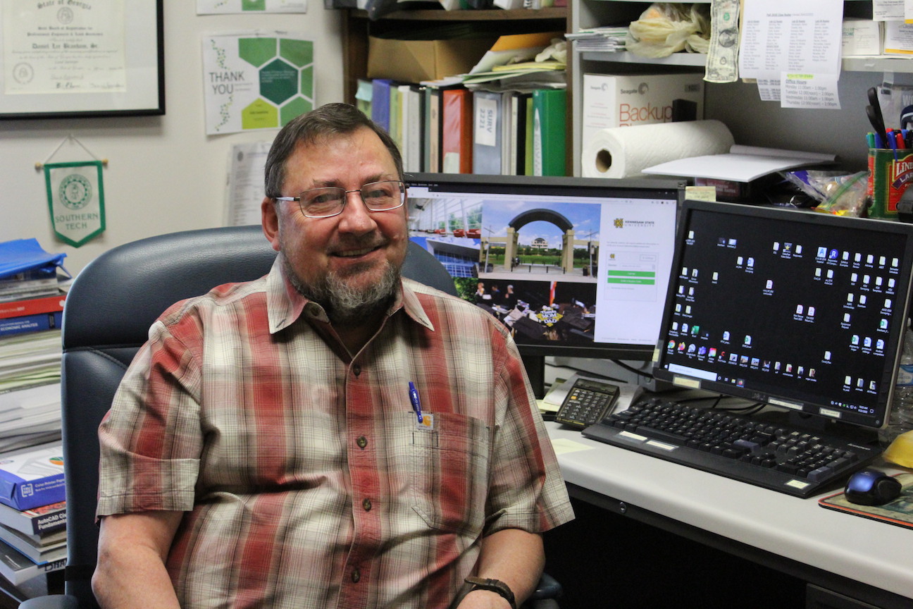
Daniel Branham
Daniel Branham is a licensed land surveyor in the State of Georgia. Licensed since 1990, he has taught surveying and mapping courses at KSU since 2002. Dan served as past faculty advisor for the KSU Student Chapter of the Surveying and Mapping Society of Georgia, and currently serves as Student Chapter Representative to SAMSOG. He received his B.S. in Surveying and Mapping from West Virginia Tech in 1984 and an M.S. in Construction Management from Kennesaw State University in 2019.
Patrick Devereux 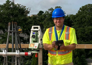
Patrick Devereux has been a part-time facility member at KSU since 2019. After receiving both a B.S. and M.S. in Civil Engineering from Georgia Tech, he spent 11 years working for an engineering firm, and has worked to earn his Professional Engineer (PE) license. Since 2017, Mr. Devereux has been in charge of a local land surveying company and he has recently attained his Registered Land Surveyor (RLS) license. Patrick brings his rich and continuing experience in the construction industry to the classroom and uses a "hands on" perspective.
Mostafa Arastounia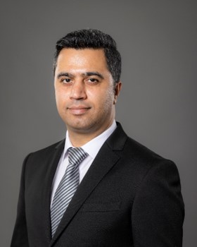
Mostafa Arastounia is an assistant professor of Geospatial Sciences at Kennesaw State University. He teaches land surveying courses, and his research is focused on automated processing of data obtained by terrestrial laser scanners and unmanned aircraft including both aerial photos and LiDAR data. These geospatial data are used for automated mapping and monitoring of civil infrastructure elements and the results can be employed for automatic maintenance and resilience monitoring of such infrastructure. He has several publications in ISI journals including ISPRS Journal of Photogrammetry and Remote Sensing and he is also a guest editor, board member, topic editor, and reviewer of seven ISI journals. Dr. Arastounia is a licensed Professional Geomatics Engineer in the Province of British Columbia (Canada) and holds the Project Management Professional (PMP) certificate from Project Management Institute. He has years of industry experience as a geomatics project manager, survey manager, and team lead on many different projects.

Loading posts...


